Preparing download

Actionbound Helpdesk

What do you want to know?

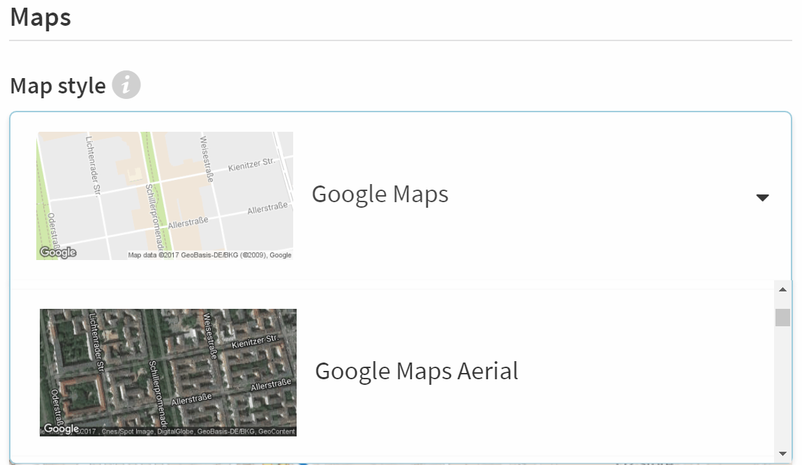
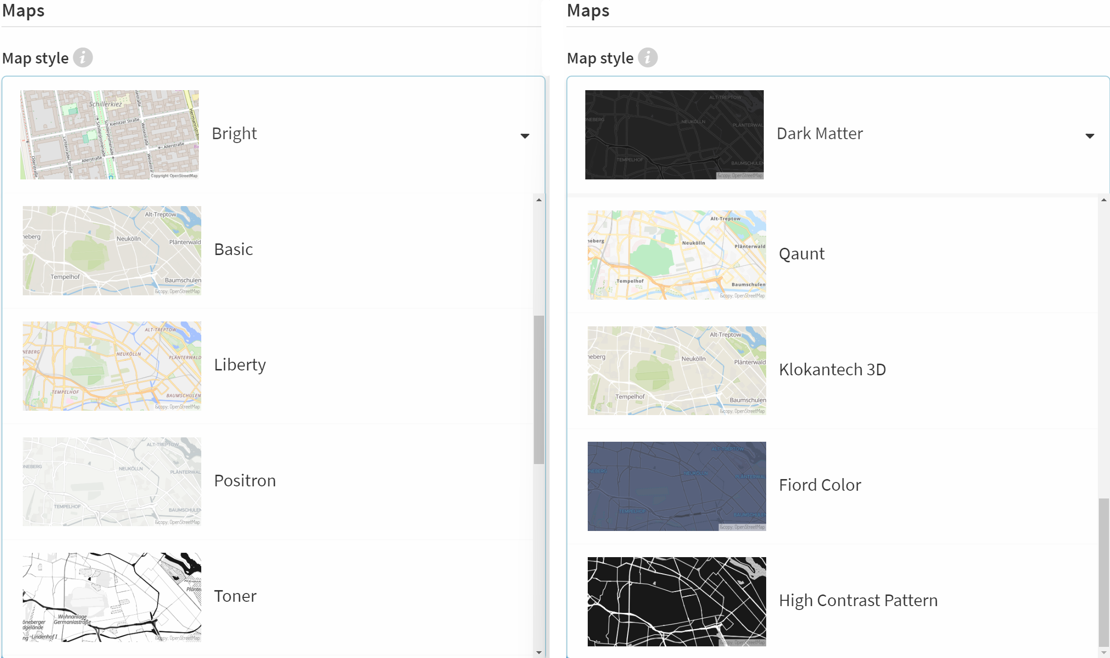
Satellite view, Toner or classic view - with the different settings you can give the maps of your Bound the right touch.

How to

Your players will see maps in two different places in the Bound:

  • in the element find spot with the option Map view.
  • in the Actionbound App in the menu.

You can customise the style of these maps for your Bound.

Map style

In den You can select the map material in the Settings of the Bound:

Google Maps map material:

Open Street Maps map material:


Note

When Google Maps is used as map material, a connection to Google is established. The IP address of the mobile device is transmitted to Google.

The map material OpenStreetMaps (OSM) is hosted by Actionbound and is located on servers in Germany.

Track

A track is displayed as a blue line on all maps in the Bound Creator and in the Actionbound app in your Bound. It helps your Bound players to find the right way.

You can upload your own track file by drag & drop or via Select file. The GeoJSON, GPX and KML formats are supported.

Note

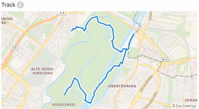
Your track file cannot consist of individual GPS points, but may only contain a track or a route.

You can also create a track from sections of your Bound. In this case, a straight line is drawn between the sections if a GPS coordinate has been stored for them.

Preload

If there is no internet connection when playing the Bound, you can enable the OpenStreetMaps map material to be downloaded when the Bound is started. This way, your players can experience the Bound offline and do not have to do without the map.

Note

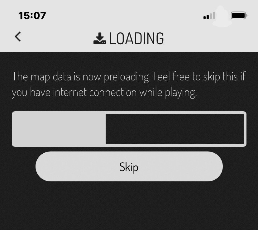
Only OpenStreetMaps can be preloaded. Google map material cannot be preloaded. If Google Maps map material is used, an internet connection must be available so that the map can be loaded.

For the find spot element to work, the location of the mobile device must be activated. This also works in aeroplane or offline mode.

Lisa Podiwin

Lisa Podiwin
Support & Customer Success

Aktualisiert am Feb 21, 2024